Trail Details
Explore the Wonders of Norse Creek Falls Trail
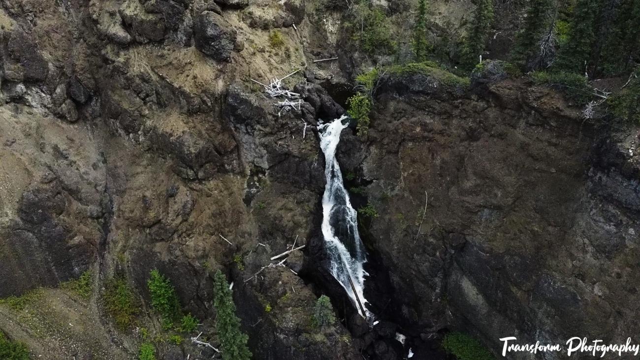
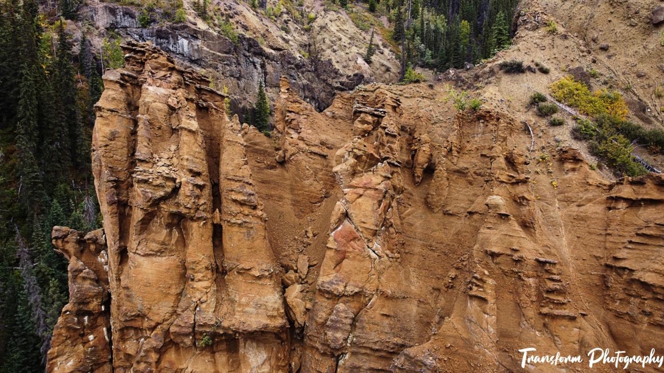
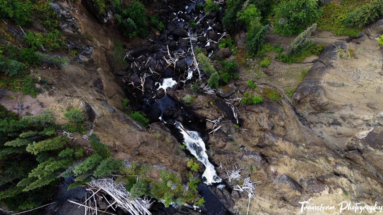
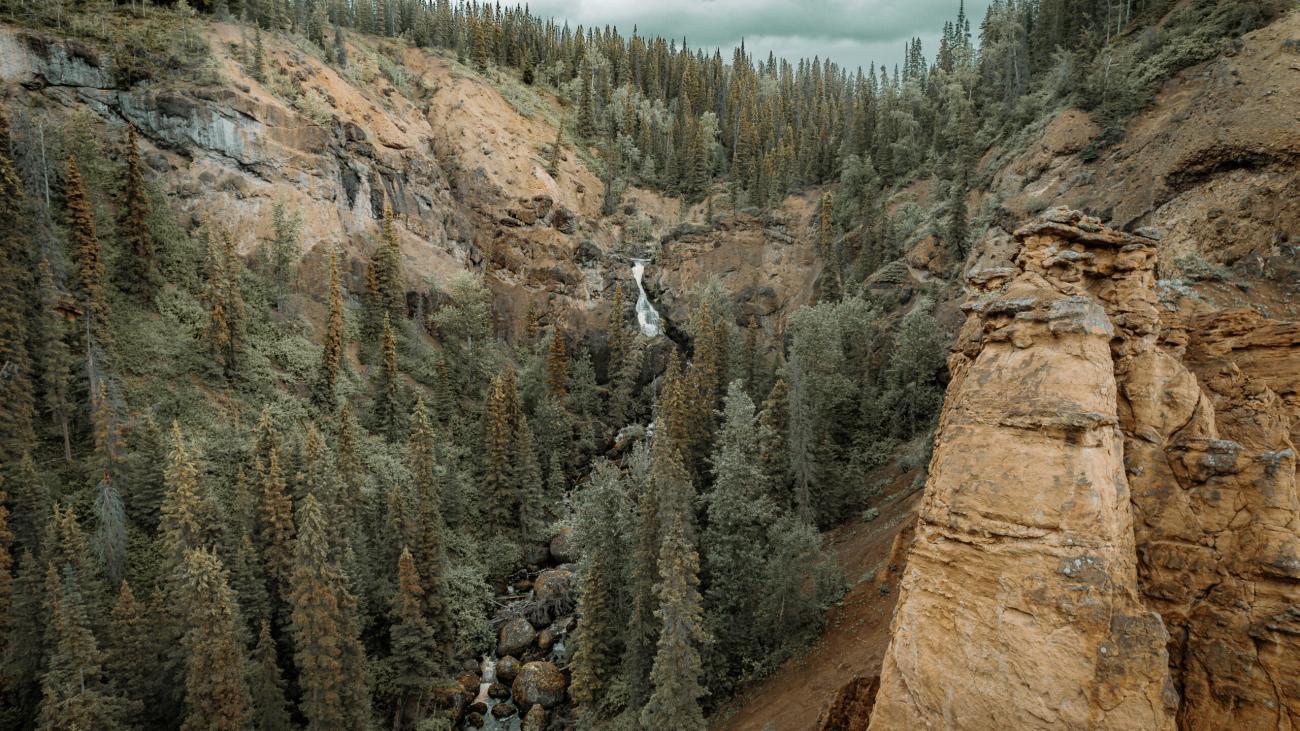
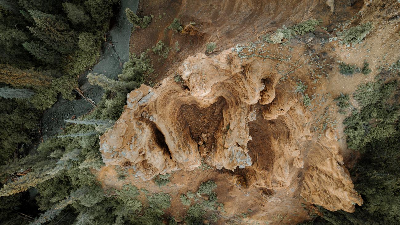
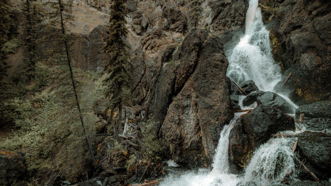
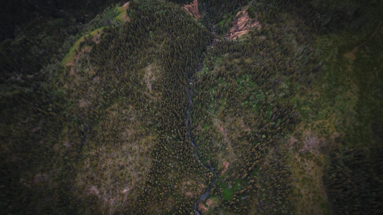
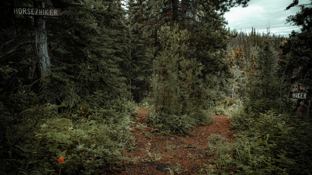
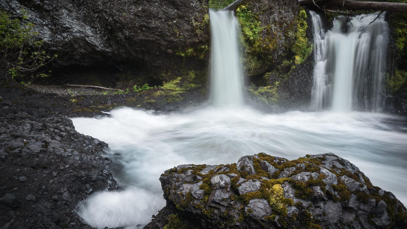
If you’re seeking an unforgettable hiking adventure, Norse Creek Falls Trail is a must-visit destination. Spanning 6.5 km, this trail is renowned for its breathtaking views of the impressive Nourse Creek Falls. The trailhead is located at the parking lot, from where hikers will follow the creek upstream and trek along the banks of Nourse/Allin Creek. As the trail ascends into the hills, visitors can enjoy stunning views of Francois Lake to the south. Along the creek, you can admire scenic hoodoos, picturesque waterfalls, and even take a dip in some refreshing swimming holes if the weather permits. With a gentle trail grade and only a few short steep sections, Norse Creek Falls Trail is an excellent choice for hikers of all levels.
Directions aprrox 32 mins: To get there from Burns Lake, drive south on Hwy 35. Pass the Francois Lake Ferry terminal and continue along the north shore of Francois Lake for about 15km to the Henkel Forest Service Road. Turn right and drive about 1.5 km to the trail parking lot.